
How to Use Natural Landmarks for Navigation on the Trail
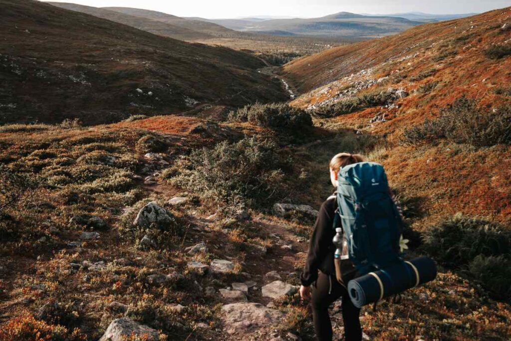
Navigating on the trail can be a rewarding experience when you rely on natural landmarks.
While modern technology such as GPS devices and smartphones are commonly used, knowing how to use natural features for navigation on the trail can enhance your outdoor skills and deepen your connection with nature.
This guide will help you understand how to effectively use natural landmarks to find your way, ensuring a safer and more enjoyable hiking experience.
Navigation on the Trail
Navigation on the trail using natural landmarks involves observing and interpreting features like mountains, rivers, and trees to determine your position and direction.
This method is particularly useful when technology fails or when you want to immerse yourself more deeply in the environment.
By learning to recognize and utilize these landmarks, you can navigate more confidently and develop a better understanding of the terrain.
Understanding Natural Landmarks
Mountains and Peaks
Mountains and peaks are some of the most reliable natural landmarks for navigation. Their distinct shapes and heights make them easily identifiable from various points on the trail. Here’s how to use them effectively:
- Identify Prominent Peaks: Look for peaks or mountain ranges that stand out from the surrounding landscape. These can serve as a reference point for direction and distance.
- Understand Elevation Changes: Recognize how the elevation changes around peaks. For instance, if you know you need to ascend or descend, observing the surrounding peaks can help you gauge your progress.
- Use Peaks for Orientation: When you know the position of certain peaks relative to your route, you can use them to maintain your heading or determine your location.
Rivers and Streams
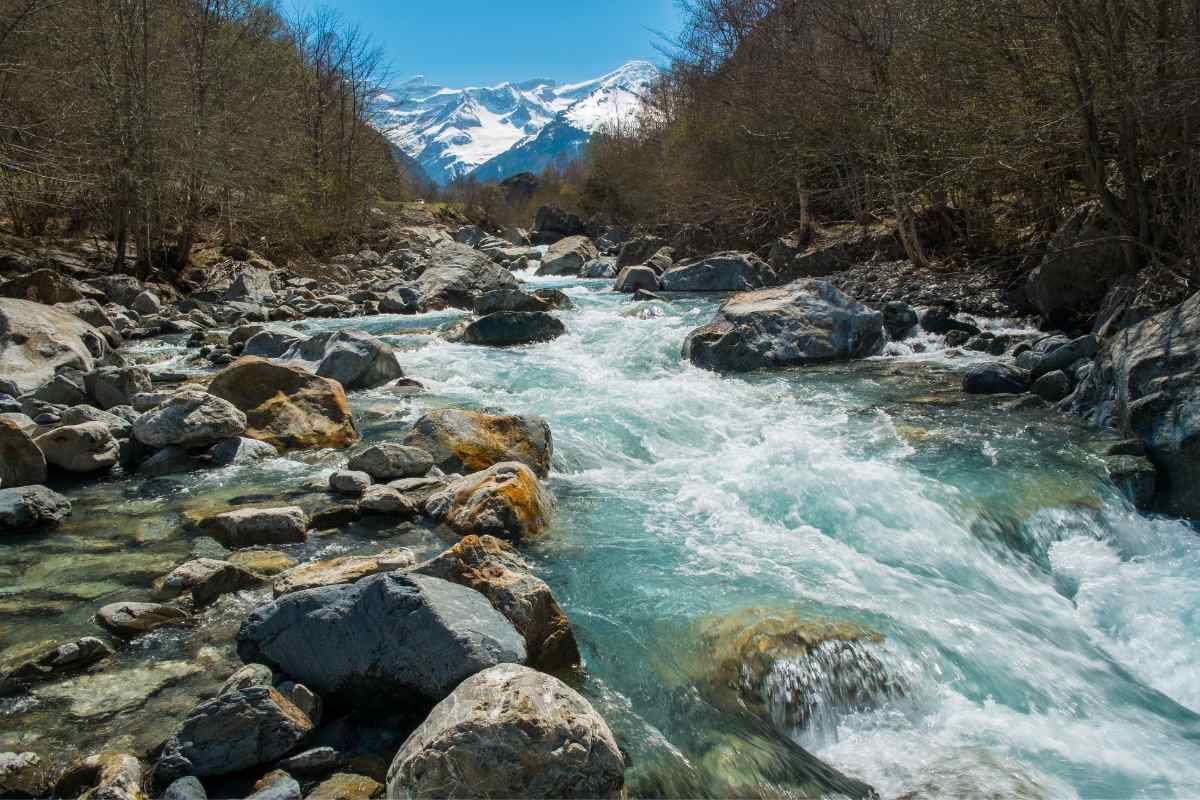
Rivers and streams are vital landmarks, especially in areas with dense forests or flat terrain. They provide a constant reference for navigation:
- Follow the Flow: Rivers flow in a consistent direction. If you follow a river, you can often determine your direction based on its flow. For example, in some regions, rivers might flow toward the ocean or a lake.
- Identify Key Features: Look for notable features such as waterfalls, bends, or confluences. These can help you track your progress and confirm your location.
- Crossing Strategies: When crossing rivers, use landmarks on the opposite bank to maintain your orientation. This helps in ensuring you’re heading in the right direction once you’ve crossed.
Forests and Trees
Forests and trees can also be used for navigation, though they require more careful observation:
- Recognize Unique Trees: Certain trees or tree formations can serve as landmarks. For instance, a large, solitary tree or a group of trees with distinct characteristics can be used to identify your location.
- Observe Vegetation Patterns: The arrangement and type of vegetation can indicate elevation changes or other geographical features. For instance, dense forests might indicate low-lying areas, while sparse vegetation could suggest higher altitudes.
- Use Natural Clearings: Clearings or open areas within forests can serve as reference points. They can help you determine your location relative to surrounding features.
Using the Sun and Stars
Sun Position
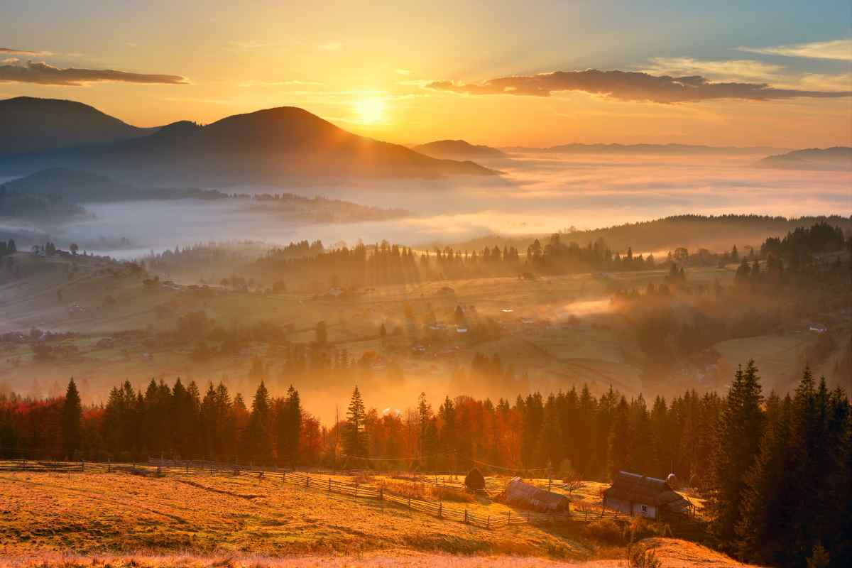
The position of the sun in the sky is a crucial tool for navigation:
- Determine Time of Day: By observing the sun’s position, you can estimate the time of day, which can help you determine your orientation. For example, the sun rises in the east and sets in the west, so knowing its position can give you a general sense of direction.
- Use Shadows: Shadows cast by objects can help you determine north and south. By noting the direction of the longest shadows, you can estimate north-south orientation.
Star Navigation
At night, star navigation becomes a valuable technique:
- Identify Constellations: Familiarize yourself with key constellations such as the Big Dipper or Orion. These can guide you in finding the north star or other key points.
- Locate the North Star: The North Star (Polaris) is a reliable reference for the north. By locating it in the night sky, you can orient yourself and determine your direction.
Practical Tips for Effective Navigation

Plan Ahead
Before heading out on the trail, plan your route and familiarize yourself with the natural landmarks you’re likely to encounter.
Study maps and guidebooks to understand the terrain and key features.
Practice Observation Skills
Regularly practice your observation skills by identifying and memorizing natural landmarks.
This practice will enhance your ability to use them effectively during your hikes.
Stay Aware of Changes
Natural landmarks can change due to weather or seasonal changes. Stay aware of these changes and adjust your navigation techniques accordingly.
For example, rivers might swell during heavy rains, altering their appearance.
Combine Techniques
Combining natural landmarks with other navigation techniques, such as using a compass, can increase your accuracy.
Integrating multiple methods will help you navigate more effectively, especially in challenging terrains.
Mastering Trail Navigation with Natural Landmarks: Key Takeaways
Using natural landmarks for navigation on the trail is an essential skill for any outdoor enthusiast.
By learning to recognize and utilize features such as mountains, rivers, trees, and celestial bodies, you can enhance your hiking experience and ensure safer journeys.
Remember to practice your skills, stay aware of environmental changes, and combine techniques for the best results.
With these tools and techniques, you’ll be well-equipped to navigate the wilderness with confidence.
Did you find this post useful or inspiring? Save THIS PIN for later in your Outdoor Board on Pinterest! 😊
Explore these outdoor tips too